Fast capture for AEC
NavVis VLX is a wearable indoor mobile mapping system that enables high-quality reality capture in even the most complex buildings such as construction sites, staircases and technical rooms.
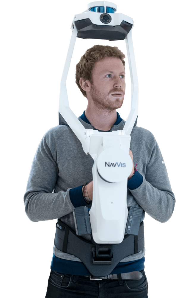
NavVis VLX Designed for versatility
Dual LiDAR
Two multi-layer LiDAR sensors capture 3D measurements and enable industry-leading SLAM software in a combination that delivers best-in-class point cloud quality.
Complete 360° capture
Four cameras positioned on top of the device take high resolution images without any blind spots or operators appearing in the field of view.
Forward-looking
A new design for wearable mapping hardware that is strategically positioned at the front to enable targeted scanning as well as viewing of the built-in screen.
Control point compatibility
For survey-grade accuracy and automatic dataset alignment, NavVis VLX is compatible with ground and wall control points.
Built-in interface
The touchscreen interface displays live feedback during scanning and is built into the device to allow hands-free movement.
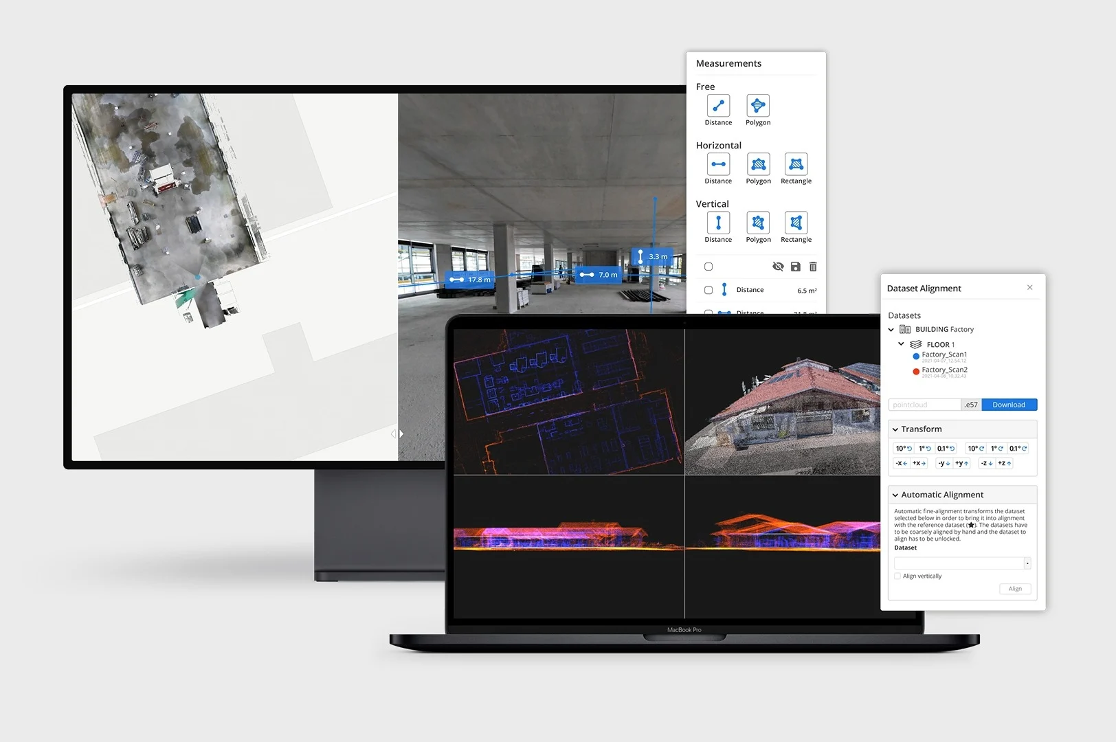
NavVis IVION Core
A reality capture platform for laser scanning and AEC professionals. Manage your 3D scans with intuitive tools for creation, collaboration, and publication.
NavVis IVION Core makes mobile mapping workflows more efficient, speeds up model creation and delivery, and adds value to your data.
Service Mapping
Forida offers scanning service to rapidly capture your entire production network using patented NavVis mapping technology at unprecedented speed and accuracy.
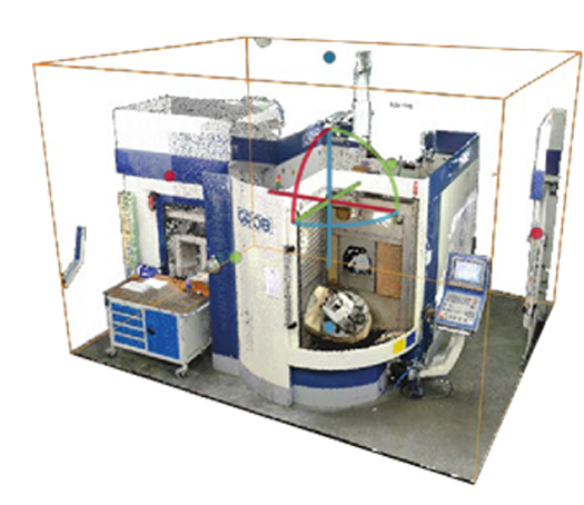
NavVis VLX use case
NavVis VLX vs TLS
Why NavVis VLX mobile mapping?
You can see how this wearable mapping device can do average 10 times faster than a TLS (Terrestrial Laser Scanning) for capturing the same area.
It also meets the standard criteria for survey-grade accuracy with a better coverage.