


Lands Design – Landscape Design for Rhino & AutoCAD
Lands Design extends Rhino and AutoCAD with tools for planting design, terrain modelling, irrigation and landscape documentation, supporting professional workflows from concept to construction.
Landscape Planning, Design and Documentation in Rhino & AutoCAD
Lands Design enables landscape architects and designers to plan, design and document landscape projects entirely within Rhino and AutoCAD. From terrain modelling and planting design to irrigation planning and construction documentation, it supports a seamless workflow from early concepts through to detailed deliverables.
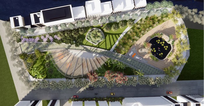
Landscape Architecture
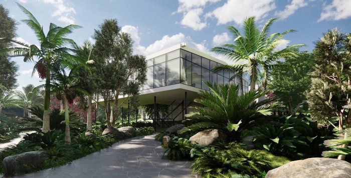
Lands Design supports landscape architecture projects of all scales, enabling 2D layouts, 3D models and realistic visualisations within Rhino/ AutoCAD.
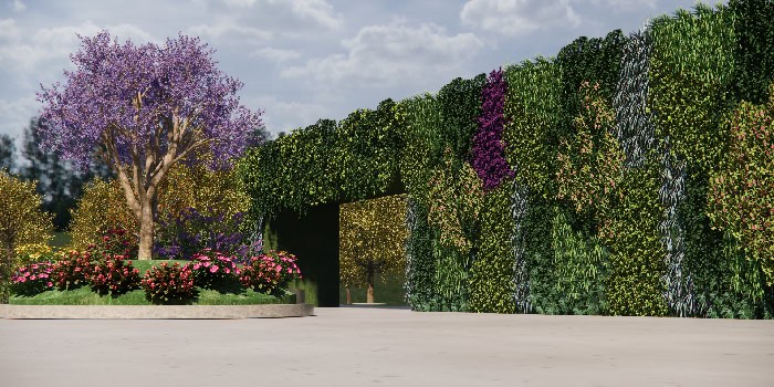
Green Infrastructure
Lands Design supports green infrastructure design, enabling vertical gardens, green roofs and planted areas to be integrated into architectural and civil engineering projects.
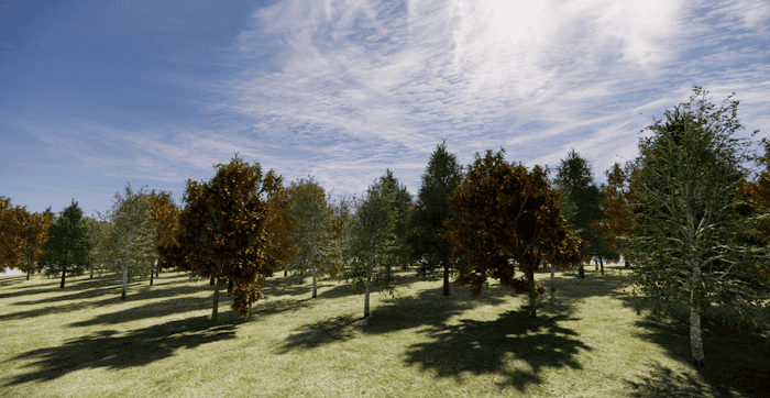
Forestry
Lands Design supports forestry and silviculture workflows with tools for terrain modelling, planting, irrigation and hardscape design, including visualization of seasonal change and plant growth over time.
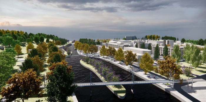
Urban Planning
Lands Design supports urban planning by integrating vegetation into public spaces, enabling informed plant selection and seasonal visualization to improve the quality of the built environment.
CG Artists
Lands Design supports CG artists in creating 2D and 3D landscape assets for games, visualisation and digital animation using Rhino/AutoCAD-based workflows.
Purpose-Built Landscape Design Tools for Rhino and AutoCAD
Lands Design delivers specialised landscape design capabilities directly within Rhino and AutoCAD, combining terrain modelling, planting, irrigation, and documentation in a single professional workflow. Its feature set is built specifically for landscape projects, helping teams work more accurately, visualize design intent clearly, and produce reliable construction-ready outputs.
Dynamic Terrain and Grading Tools
Create and edit 3D terrain models with precision in Rhino and AutoCAD. Lands Design enables terrain generation from contours, meshes, point clouds and satellite data, with tools for grading, cuts and fills, paths and openings, as well as accurate area and volume calculations to support reliable landscape design outcomes.
Extensive 2D and 3D Plant Database
Lands Design provides access to an extensive plant database within Rhino and AutoCAD, with thousands of species available for landscape design. Plants can be filtered by climate, soil, wind resistance and other criteria, and displayed in both 2D and 3D with support for rendering, plan output, and seasonal growth visualization.
BIM/LIM-Driven Landscape Design
Lands Design applies BIM/LIM principles within Rhino and AutoCAD, using intelligent elements for vegetation, hardscape and terrain to support efficient editing, accurate documentation and quantity take-offs. Linked 2D drawings are generated directly from the 3D model, ensuring consistency between design, documentation and project data.
Dynamic 2D Documentation
Lands Design streamlines 2D documentation in Rhino and AutoCAD, allowing designers to generate accurate plans, sections and annotations directly from 3D models. Layer management, layout creation and built-in listing tools support efficient documentation and reliable quantity take-offs.
Parametric Design for Advanced Workflows
Lands Design enhances design workflows in Rhino and AutoCAD through parametric design, enabling automation of vegetation, terrain and civil elements. With Grasshopper integration, designers can quickly test design options, reduce manual tasks and develop custom landscape solutions efficiently.
Realistic Visualization and Presentation
Lands Design brings landscape projects to life in Rhino and AutoCAD with realistic images, walkthroughs and animated visualisations, including vegetation growth and sunlight simulation. It integrates with leading rendering engines such as Enscape, Lumion, V-Ray and Twinmotion to support high-quality visual presentations.
Improved Interoperability and Data Exchange
Lands Design supports seamless data exchange in Rhino and AutoCAD, allowing easy import and export across multiple file formats. Projects can be prepared for web viewing, virtual reality, 3D printing and external libraries, enabling flexible collaboration and sharing across platforms.
Get Started with Lands Design — Supported by FORIDA
Get Lands Design with confidence through FORIDA and benefit from local expertise every step of the way. We provide licensing, onboarding, training and ongoing support to help you use Lands Design effectively in Rhino and AutoCAD, whether you’re starting a new workflow or scaling across teams.
With competitive pricing, practical training and responsive local support, FORIDA helps landscape professionals get real value from Lands Design — faster adoption, better outcomes, and smoother project delivery.